When La Niña, the recurring Pacific Ocean climate pattern, aligns with the European Alps this winter, forecasters say skiers can expect a rare snow‑rich season. The latest outlook, released on 2 October 2025, points to above‑average snowfall across France, Switzerland, Austria and Italy for the 2025/26 season, a welcome lift after the scorching summer of 2024 that left many high‑altitude glaciers struggling. Analysts at Ski Line and the Met Office warn that while the overall pattern tilts toward a snowier winter, pockets of dry, windy weather could still challenge resort operators.
La Niña’s Influence on Alpine Weather
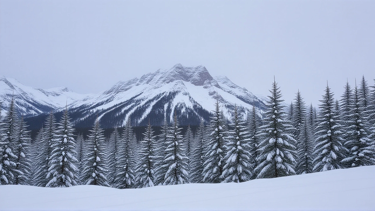
The La Niña phase cools sea‑surface temperatures in the central Pacific, which in turn steers colder, moisture‑laden air masses toward Europe. Historical data show that La Niña winters usually deliver a blend of lower temperatures and higher precipitation in the northern Alps, while the southern slopes may see drier conditions. This year’s model runs suggest a “weak but persistent” La Niña, enough to push the snow line lower than usual without triggering the extreme storm tracks that sometimes accompany a strong event.
Current Snow Conditions and Short‑Term Forecasts
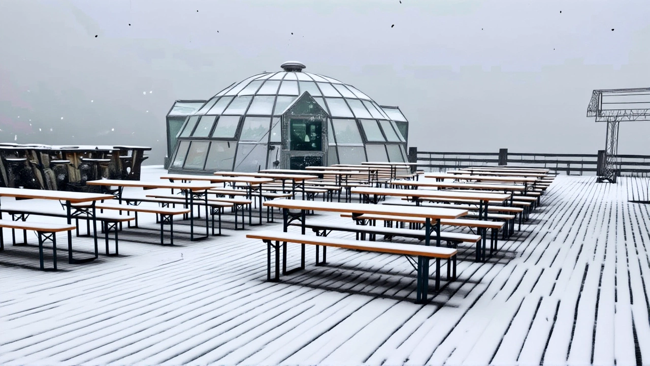
As of 1 October 2025, the Alpine basin enjoys a patchwork of sunshine and cloud cover. The eastern Austrian Alps have already seen light flurries down to 1 800 m, while the central Swiss valleys are basking in clear skies. The Met Office expects a modest cold front to sweep across the northern Alps late Friday, bringing mixed precipitation that should settle as snow above 2 500 m. Saturday’s warm front will temporarily raise the rain‑snow line to 3 000 m before a sharp north‑west cold snap drops it again, delivering fresh powder to glacier areas such as the Hintertux Glacier in Austria.
Glacier Resorts Opening Schedule
Six glacier ski areas remain open in early October: Hintertux and Pitztal (Austria), Saas‑Fee and Zermatt (Switzerland), Val Senales and Passo Stelvio (Italy). The opening calendar for the rest of the month is brisk:
- 2 Oct – Sölden (Austria)
- 3 Oct – Stubai and Kaunertal (Austria)
- 10 Oct – Mölltal (Austria)
- 11 Oct – Kaprun (Austria)
Snowfall Projections by Month
Seasonal models paint a nuanced picture:
- November – Below‑average snowfall across the Alps, Pyrenees and Balkans; early‑season lifts may rely on artificial snow.
- December – Gradual rise in accumulation, especially in the central and eastern Alps; coastal Mediterranean lows begin feeding moisture.
- January – Peak snowfall, with totals 10‑20 % above the 1990‑2020 average in Austria, Switzerland and France.
- February – Potential for sudden, intense snow bursts tied to Sudden Stratospheric Warming (SSW) events or a negative North Atlantic Oscillation (NAO).
- March – If SSW materialises, snow could linger on high‑altitude slopes, extending viable skiing into the early spring.
Implications for the Ski Industry and Travelers
"We’re seeing a textbook La Niña impact," says Dr Sofia Müller, climatologist at Met Office. "Resorts that sit above 1 800 m will likely enjoy a stable base, but lower‑lying areas must stay flexible and keep snow‑making infrastructure humming."
Industry analysts at Ski Line advise travelers to prioritize high‑altitude venues such as Zermatt, Val Senales and the Austrian glacier network. They also recommend booking within a 7‑ to 14‑day window before travel, as short‑range models can shift dramatically. Flex‑ticket policies are becoming the norm, especially for early‑December trips where the first snow may still be uncertain.
Historical Context: The 2024 Summer Heat Wave
August 2024 delivered an unprecedented heat wave that pushed the zero‑degree isotherm up to 5 000 m on the Mont Blanc massif, effectively melting the seasonal snowpack in many valleys. The Hintertux Glacier, famed for its year‑round skiing, had to shut down its “frozen wall” for two weeks as daytime temperatures hovered between 5‑15 °C at 3 000 m. That episode underscored the vulnerability of Alpine glaciers to a warming climate and amplified the excitement surrounding this year’s more favorable La Niña outlook.
What Skiers Should Watch Moving Forward
Beyond the macro‑scale La Niña pattern, local weather quirks will dictate day‑to‑day conditions. The Föhn wind, a warm downslope breeze, can rapidly melt fresh snow in valleys, while the Nordstau storm track may bring heavy, dry snow to the northern Alps. Travelers should keep an eye on regional forecasts, especially the Met Office’s 48‑hour “snow risk” maps, to avoid being caught out by sudden melt events.
Frequently Asked Questions
How will the La Niña pattern affect ski conditions in lower‑lying Alpine resorts?
Lower‑lying resorts (below 1 500 m) may still face a mixed picture. While the overall pattern leans toward more snow, occasional warm spells and Föhn winds could melt early accumulations, making artificial snowmaking essential through December.
Which Alpine destinations are expected to have the most reliable snow coverage?
Resorts above 1 800 m, such as Zermatt (Switzerland), Saas‑Fee (Switzerland), Val Senales (Italy) and the Austrian glacier network (Hintertux, Sölden, Stubai) are projected to maintain a solid natural base throughout the season, especially from January onward.
What role do Sudden Stratospheric Warming events play in February snowfall?
SSW events can invert the usual temperature gradient, funneling exceptionally cold air into mid‑latitude Europe. When this coincides with moist Atlantic systems, it can trigger intense snowstorms that boost the February snowpack, sometimes extending skiable conditions into March.
How do the 2024 summer heat anomalies influence this winter’s outlook?
The 2024 heat wave highlighted the fragility of glacier snow farms. While La Niña promises a cooler, wetter winter, the underlying trend of rising temperatures means resorts must continue investing in snow‑making and glacier preservation to hedge against future anomalies.
What should travelers do to maximize their chances of good ski conditions?
Book high‑altitude resorts, opt for flexible tickets, and monitor short‑range forecasts a week before departure. Keeping an eye on Met Office’s snow‑risk alerts and being ready to pivot to nearby glacier sites can make the difference between a powder day and a slushy one.